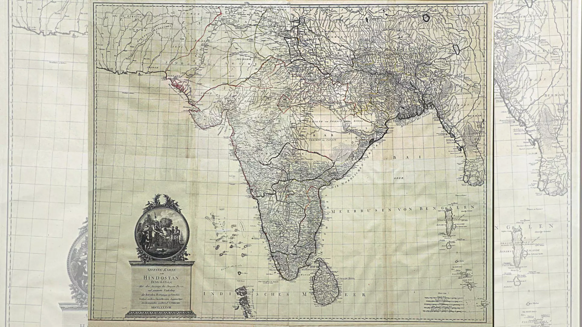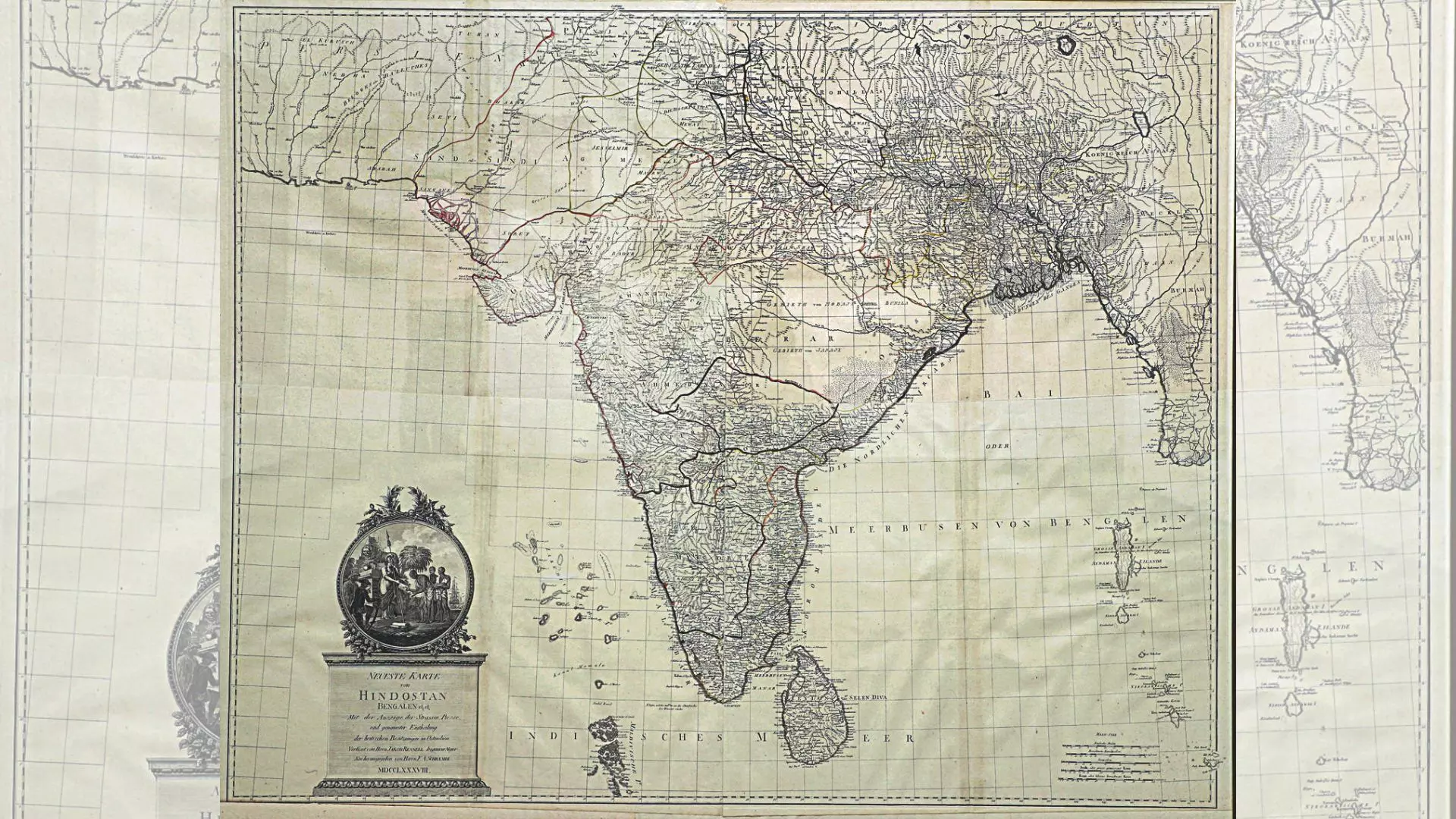
Without geography, one would be nowhere. And maps are like campfires — everyone gathers around them. “Cartographical Tales: India through Maps” – a stunning exhibition of unseen historical maps from the 17th century to 1946 offers a rare glimpse into the intricate world of cartography and the evolving geopolitical landscapes of the past.
Curated by Anubhav Nath, the exhibition reflects a 15-year journey of passion and dedication. “My interest in cartography was kindled by a world map in my grandfather’s office, which I still preserve for sentimental reasons,” he shares and adds. “This map was the inception of my ongoing journey to collect these historic maps, blending my love for history and the visual appeal of these cartographic treasures.”
The exhibition features works by iconic cartographers such as Seutter, Rennell, Mortier, Lapie, Bonne, and Tallis. Most of these maps were crafted by European cartographers, with Americans joining the fray post-1800s. Cartography peaked in Europe early due to the Exploration Age, where explorers and merchants chartered new territories with accurately marked locations using longitudes and latitudes.
The display not only highlights the artistic and scientific advancements of the time but also the narratives of power, conflict, and politics that shaped the world’s boundaries.
Cartography Legacy
The maps on display at the Ojas Art Gallery offer more than just geographical information.
They present a rich confluence of history, art, and politics. Each map tells a story, adding layers of intrigue and allure. Nath explains, “A map by an Indian cartographer looks very different from one by a Dutch cartographer. The territories and domains were often dictated by the ruler or commissioner, reflecting their vision and influence.”
The exhibition is not just a visual delight but an educational journey into the past. These maps serve as historical documents, illustrating the imperialistic past of India with multiple layers of information. “The maps show how geographies reflect politics and how boundaries change over time,” says Nath. “For example, a map from the Mughal period looks vastly different from one during the British Raj, highlighting the shifting power dynamics.”
The use of colour and symbols in these maps varies, often depending on the cartographer’s and commissioner’s preferences. While some maps are hand-coloured, others use a conceptual approach to demarcate territories. This exhibition underscores the meticulous craftsmanship involved in creating these maps, making them valuable collectables today.
Past-Present Link
The exhibition also sheds light on the practical purposes these maps served. They were vital tools for navigation, depicting boundaries, geographical contours, roadways, and historical landmarks. The British, for instance, used detailed maps to assert their dominion over Indian territories, managing land claims, and planning administrative and revenue systems.
One of the exhibition’s highlights is a 1946 road map that showcases the extensive network of roads established by the British, many of which remain in use today. This map, like others in the collection, offers a snapshot of India’s past, illustrating how historical events and political decisions have shaped the present landscape.
The relevance of these maps extends beyond their historical value. As collectables, their worth is expected to increase, much like vintage paintings. Nath notes, “The growing interest in cartographic art and its uniqueness, rarity, and antiquity make these maps valuable assets. They provide glimpses into India’s perception over centuries, from the Mughal period to the British era and beyond.”
The exhibition does not follow a chronological sequence; instead, maps are grouped based on their category and aesthetics. This approach allows visitors to appreciate the diverse cartographic techniques and artistic styles across different periods. The display begins with a Mughal Wall, featuring maps from that epoch, and progresses to maps of Asia, South India, Bengal, and individual cities.
Meticulous Curation
Nath’s dedication to this exhibition is evident in his meticulous curation and personal connection to the maps. He recounts the techniques used by cartographers of the past, from detailed travel logs to advanced tools like compasses, telescopes, and sextants. “Accurate surveying techniques and the advent of the printing press revolutionized cartography,” he explains. “James Rennell, for example, used scientific and physical surveys of the Subcontinent, making his maps some of the most accurate of their time.”
The exhibition is a testament to Nath’s vision of making history accessible and engaging. “This exhibition is purely for educational purposes, to generate interest while showcasing the meticulous craftsmanship of these maps,” he says. “The defining boundaries and representations are for historical references and do not signify any ideologies.”
As visitors explore the exhibition, they are taken on a journey through time, discovering the beauty and complexity of historic maps. The show stands as a bridge connecting the past to the present, reminding us of the ever-evolving nature of our world and the timeless beauty of cartographic art.
Your RoadMap
The Cartographical Tales:
India through Maps exhibition is being showcased at Ojas Art Gallery in New Delhi till September 22.
The maps show how geographies reflect politics and how boundaries change over time.” — Anubhav Nath, Curator, Exhibition
